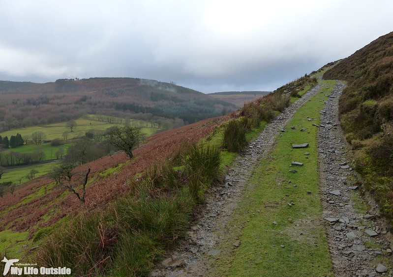
Aberdare. Not necessarily top of my list when it comes to walking destinations but, with Wednesday forecast to offer the best weather of the week, we fancied giving somewhere new a try. Our chosen route came from one of the numerous walking books we’ve accumulated over the years and kicked off from Dare Valley Country Park. My one and only previous visit here was a couple of years back when in heavy rain I decided to try and look for Ring Ouzels. That particular trip progressed no further than a few forlorn looks out of my car window but hopes were high that foot would at least make contact with ground this time around. And to start with all looked very promising indeed. Blue sky and fluffy white clouds were order of the day as we headed up the Neath valley but all too soon a familiar wall of low, grey cloud emerged from across the hills. By the time we pulled up there were already a few drops of rain in the air, something which didn’t change until darkness had fallen. Determined not to be beaten a second time however we donned waterproofs and headed off along the course of an old railway line which now forms the Dare Valley cycle path. The going was easy which left us plenty of time to nose at the various styles of housing which lined the valley sides both above and below our route. Interesting but not really photographically suitable for this blog so it wasn’t until we reached Cwmaman that my camera was called into action. Here we struck off Northwards and after a short section of residential street were suddenly deposited onto open moorland. Looking back the way we had come showed your typical Welsh valley community whereas ahead sat open hillsides and a steep climb.
Unfortunately the weather Gods also decided that this was the best time for a torrential downpour. Not when we were amongst the trees earlier but here, exposed on all sides. A wizened, leafless tree provided only an illusion of shelter but thankfully the storm was short lived. With its passing came the welcome sight of a Kestrel hunting, followed by the even more welcome sight of some sun! It only lasted a couple of minutes but did allow us to grab some views before the next band of weather moved through.
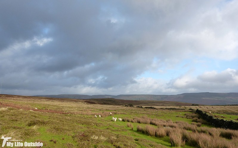
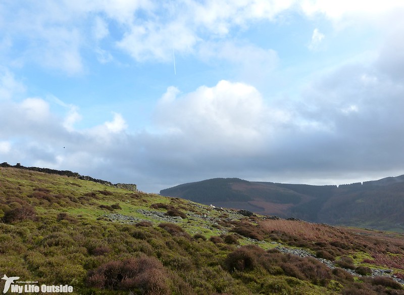
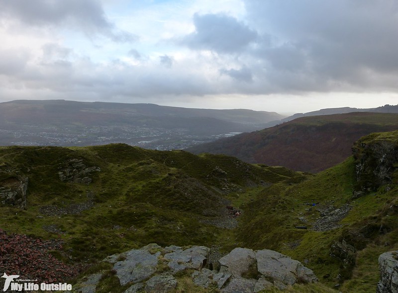
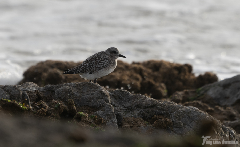
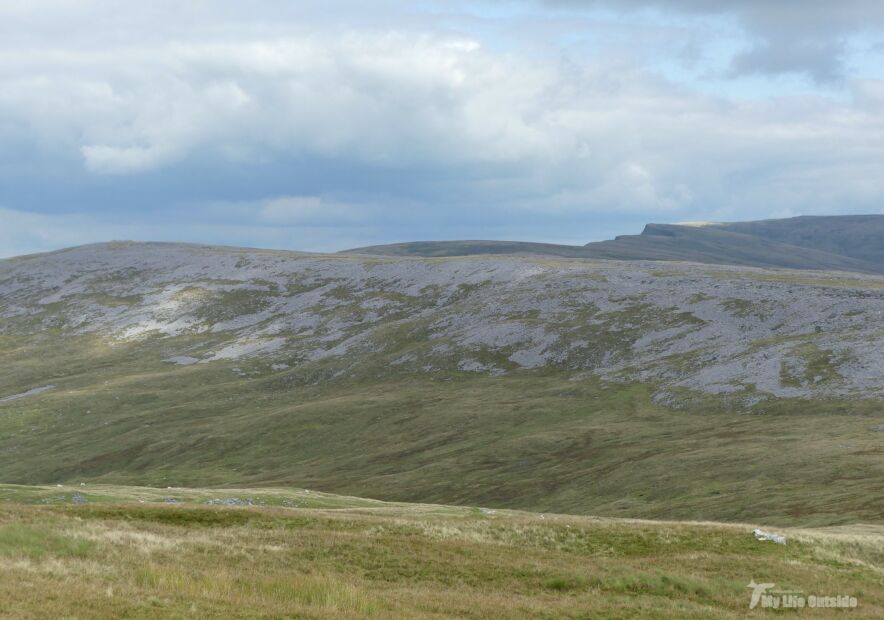
Up on the moor the map was required a couple of times to make sure we were on the right track, a task made all the more confusing by the fact that there is a huge radio antennae present which currently is not shown on any OS mapping. Fortunately fence lines remain unchanged so it was relatively easy to pick our way through the waterlogged landscape without going astray. Our only company was a few scattered Sheep and the occasional passing Raven, plus a trio of Mistle Thrushes which chattered their way down into the valley. Evidence of old mining activity was widespread with this quarry above Aberdare probably the most obvious. On a better day this would make for a rather attractive viewpoint.
From here a steep descent took us through Dumfries Park, a section which our book described as a little overgrown. That turned out to be a slight understatement. Brambles and old Bracken clogged what looked to have once been the main route with the going underfoot slippery in the extreme. I’m not sure what the history of this site is but it looks to have once had some management work undertaken with a dilapidated dipping pond and benches spotted on our way through. With all access routes seemingly locked however it now seems forgotten and we ended up cutting our own route through the trees and climbing a gate to escape. This then meant a short section of road walking along the busy A4233 before we once again regained the cycle track and headed back to the car. Far from a classic route but an interesting area to explore and definitely one to revisit should we ever have some decent snowfall.
0 Comments